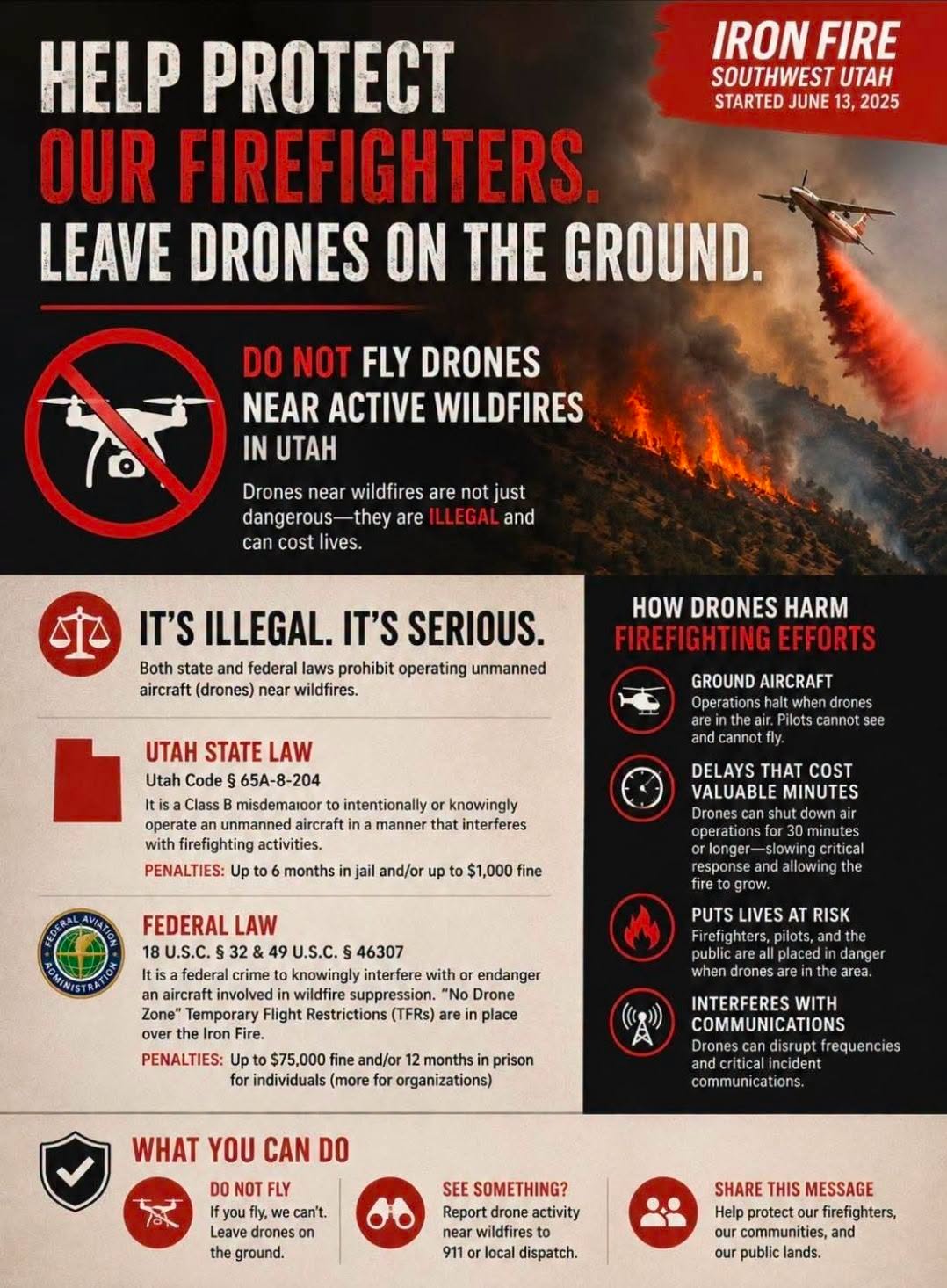
An unauthorized drone forced firefighting aircraft to stand down for about an hour during the Cottonwood Fire in late June, halting aerial attacks on what was then Utah's largest wildfire of 2026.
The incident near Beaver, roughly 200 miles south of the Salt Lake Valley, is one example of a problem that spiked nationally last year. U.S. Forest Service records show more than 200 drone sightings above wildfires in 2025, nearly all during the Los Angeles fires. The previous seven years combined produced only 125 sightings.
For drone owners in Cottonwood Heights and Holladay, communities that border Big and Little Cottonwood Canyons and face their own wildfire risk, the rules are straightforward and the consequences severe.
What the law says
Flying a drone into FAA-restricted airspace near a wildfire is a federal crime. Under 18 U.S. Code §40A, operators face up to $75,000 in civil fines per violation and up to 12 months in prison for interfering with wildfire suppression, according to the FAA. The agency can also revoke a pilot's certificate.
In 2026, the FAA updated its enforcement policy to require legal action, not just warnings, when drone operations endanger the public or violate airspace restrictions. FAA Chief Counsel Liam McKenna said in the agency's 2025 enforcement report that the agency will hold operators fully accountable for violations.
In April 2023, the FAA fined a single drone operator nearly $37,000 for flying near emergency aircraft during a wildfire, the largest wildfire-related drone fine cited in the FAA's 2025 enforcement report.
Why a small drone shuts down a fire
When fire managers detect an unauthorized drone, they must ground every air tanker and helicopter working the blaze until they confirm the drone has left the area, according to the federal Know Before You Fly program. Firefighting aircraft fly at just a few hundred feet above the ground, the same altitude as consumer drones.
A collision can be fatal.
Cal Fire spokesperson Linnea Edmeier told the Salt Lake Tribune that even a small drone can cause a firefighting helicopter to lose control. In January 2025, a drone collided with a firefighting plane above the Palisades Fire in Los Angeles, threatening the pilot and removing the aircraft from service for months.
The Cottonwood Fire, which ignited June 22 east of Beaver in Beaver and Piute Counties, ultimately burned approximately 97,464 acres and destroyed about 150 cabins, condominiums and ski lodge buildings.
FBI task force deploying counterdrone technology
An FBI Counter UAS Task Force that includes local law enforcement has begun deploying specialized technology near active wildfires. The system can detect unauthorized drones and, in some cases, bring them down with an electric pulse, the Tribune reported.
The task force's work was visible in Spokane County, Washington, in early August, where it detected 26 unauthorized drones on Aug. 2 alone. Spokane County Sheriff John Nowels said, "We are done playing games with this."
No arrest or enforcement action tied to the Cottonwood Fire drone incident has been publicly confirmed.
How local drone owners can check before flying
The FAA's free B4UFLY service, available through apps including Airspace Link, Aloft and UASidekick on iOS, Android and desktop, shows drone operators in real time whether a Temporary Flight Restriction is active over any location. Fire officials say most drones spotted over wildfires belong to hobbyists seeking photos who may not know about airspace restrictions.
With Utah's 2026 fire season already producing multiple 100,000-acre fires and Unified Fire Authority crews stretched thin protecting canyon-adjacent homes, residents who own drones can check B4UFLY at faa.gov/uas/getting_started/b4ufly before every flight.