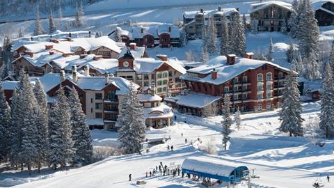
Monsoon storms pushing through Utah this week carry an elevated flash flood risk for Cottonwood Heights and Holladay residents living near Big Cottonwood Canyon's mouth, with Friday, Aug. 14, forecast as the peak precipitation day along the Wasatch Front.
ABC4 meteorologist Cedric Haynes reported Tuesday that the Weather Prediction Center flagged a 5% marginal risk of flash flooding within a 25-mile radius for areas along and south of I-70. A stronger push of monsoon moisture is expected to arrive Wednesday, Aug. 12, and continue through Thursday, Aug. 13, before tapering over the weekend.
The KSL forecast shows rain chances climbing from 20% Tuesday to 60% Thursday for the Salt Lake Valley, with temperatures dropping into the low 80s.
Why burn scars matter
The week's most urgent warnings center on Utah's fresh burn scars, where the danger is far greater than in a typical monsoon season. The Cottonwood Fire burn scar in Beaver County, about 200 miles south, has already demonstrated what happens when rain hits scorched ground. On Monday, Aug. 10, thunderstorms over that burn scar triggered a "GO" evacuation order for the Grove area near Beaver Canyon after just half an inch to three-quarters of an inch of rain produced a flash flood wave.
State Route 153 through Beaver Canyon has been closed indefinitely since July after debris flows washed away sections of road.
"Burn scars can remain highly unstable for years, creating dangerous flooding and debris flows with even relatively small storms," Utah State Forester Jamie Barnes said in July when Gov. Spencer Cox declared a state of emergency for Beaver, Piute and Sevier counties.
Wildfires create a hardened, water-resistant soil layer that prevents rain from soaking in, more than doubling runoff rates into streams and channels. According to the National Weather Service, a debris flow can start on a dry slope after only a few minutes of intense rain and can move faster than a person can run.
What Cottonwood Heights and Holladay residents should know
No burn scar sits directly above Big Cottonwood Canyon. But canyon-mouth neighborhoods remain vulnerable to flash flooding during intense monsoon bursts. Short, heavy downpours in steep terrain can send water rushing downhill with little warning.
Haynes warned residents near burn scars to stay vigilant: "Be on high alert for severe debris flow downstream of rivers and if a Flash Flood Warning is issued, get to higher ground immediately!"
The same principle applies locally. Residents can sign up for emergency alerts through Salt Lake County's emergency notification system. The NWS advises never driving through flooded roads. The monsoon pattern is expected to ease by Saturday, Aug. 15, as drier air moves through southwest Utah first.
What's ahead
University of Utah geographer Phil Dennison warned on Aug. 5 that Utah has already broken its record for wooded and forested areas burned in a single year, with 285,000 acres of woodland and forest scorched as of early August. Post-fire flooding risks persist for years, meaning this monsoon season's dangers could recur well beyond 2026.