The National Weather Service issued a Flood Watch on Wednesday, July 22, covering a large portion of northern and eastern Utah through late Wednesday evening. The flash flood threat extends into Thursday afternoon as thunderstorms continue to develop across the region, according to ABC4 meteorologist Noah Price.
Elevated humidity is fueling afternoon and evening thunderstorms capable of producing torrential downpours, Price reported.
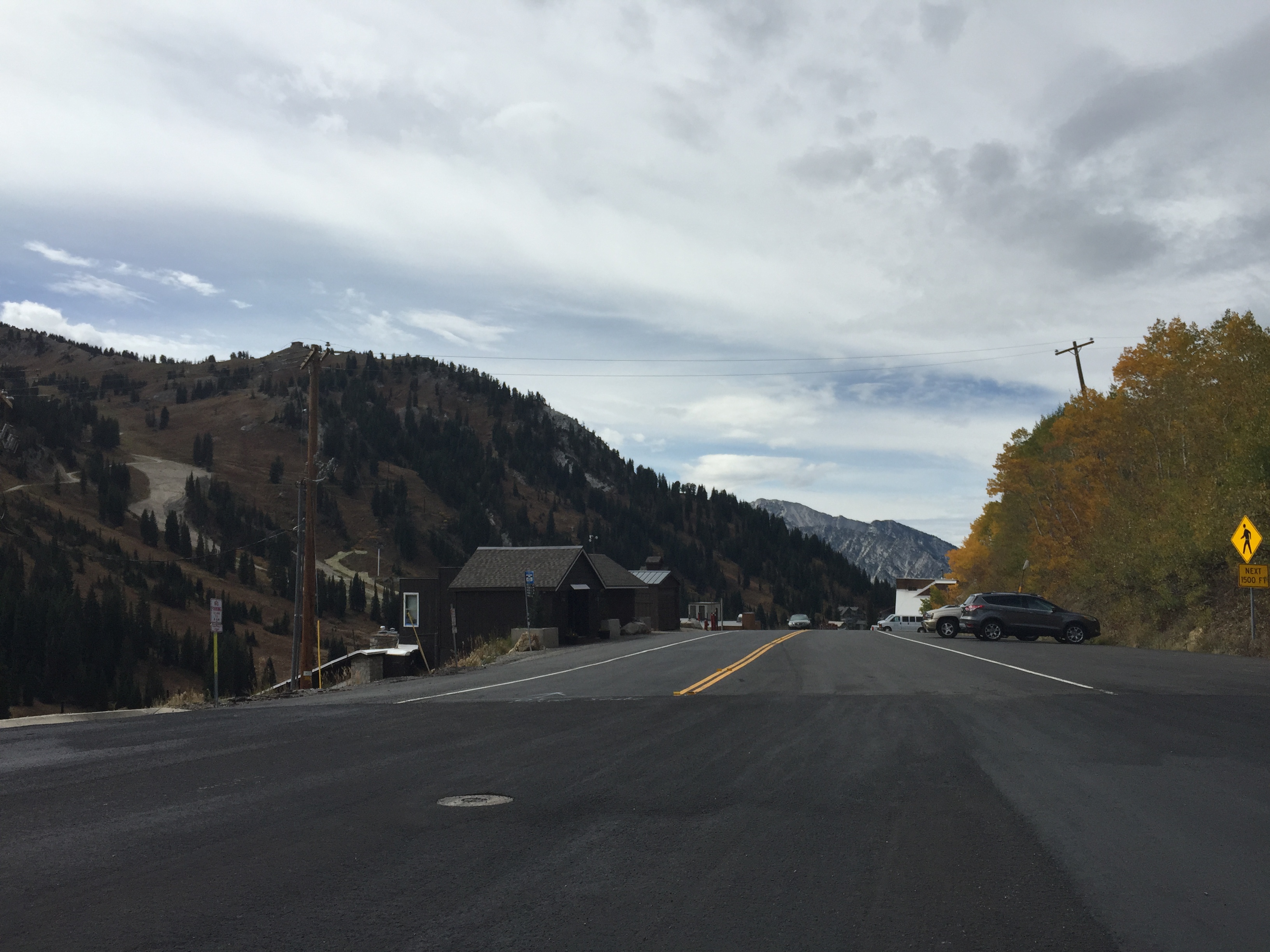
While the watch does not name specific drainages, Big Cottonwood Canyon and Little Cottonwood Canyon empty directly into Cottonwood Heights and Holladay neighborhoods. That geography historically concentrates flood risk at canyon mouths when storms develop upstream. Runoff from storms miles away can create dangerous conditions at lower elevations with little warning.
What a Flood Watch means
A Flood Watch is the NWS's formal "Be Prepared" alert. Conditions are favorable for flooding, but it does not guarantee flooding will occur. It sits one step below a Flash Flood Warning, which signals flooding is imminent or occurring and requires immediate action such as moving to higher ground.
Forecast through the weekend
Thursday's storms will be less widespread than Wednesday's, according to Price, but isolated downpours remain possible. High temperatures across northern Utah are forecast to reach the mid-90s Thursday.
The flood threat shifts primarily into eastern Utah by Thursday afternoon. Rain chances decrease heading into Pioneer Day, Friday, July 24. A ridge of high pressure building over the region should dry things out through the weekend, with Wasatch Front temperatures climbing into the upper 90s to around 100 degrees.
Monsoon season context
In a July 14 interview with FOX 13 Utah, NWS Salt Lake City meteorologist Hayden Mahan noted that burn-scar areas lower the threshold for dangerous runoff during monsoon season. "Even a little bit of rain can really cause some problems for some of these burn scar areas," Mahan said.
How to stay informed
Cottonwood Heights residents can sign up for city-specific emergency alerts at cottonwoodheights.utah.gov. Salt Lake County's emergency services page also lists UPD Canyon Alerts at updsl.org and VECC Reverse 9-1-1 alerts through Smart911 at smart911.com.
Wireless Emergency Alerts from the NWS are broadcast automatically to cell phones in a targeted area during imminent threats. No sign-up is required. Residents who observe flooding or road hazards should call 911.
.jpg)

