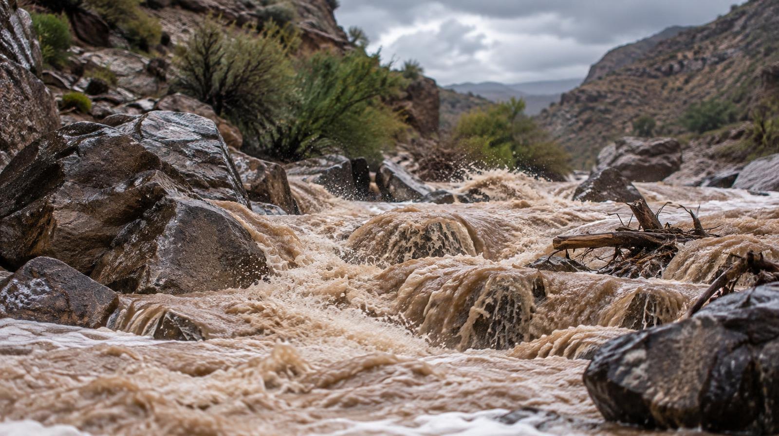
Cottonwood Heights and Holladay residents face days of heavy rain and flash flood risk as remnants of Hurricane Rachel push into Northern Utah starting Sunday, Oct. 11.
The storm could dump 1 to 3 inches of rain across much of the state over a five-day stretch from Saturday through Wednesday, Oct. 14, KUTV reported. Mountain areas may see three inches or more, according to KSL. Snow is expected above 9,000 feet, which would include upper elevations of Big and Little Cottonwood Canyons.
Northern Utah highs are forecast to plunge from the low 80s into the 60s during the storm window.
Hayden Mahan, a National Weather Service meteorologist in Salt Lake City, told KUER the heaviest precipitation is expected Monday, Oct. 12, as the center of circulation moves in. "That's when we're expecting the most widespread, heaviest precipitation," Mahan said.
Flash flood risk extends to urban areas
The flood threat goes beyond Utah's typical trouble spots. Mahan said the risk will expand past slot canyons, dry washes and burn scars to include larger rivers and urban areas with poor drainage, according to St. George News. He warned the flash flood danger would persist from late Saturday through at least Wednesday.
Even Wasatch Front cities could see flooding. Sandy experienced heavy rain flooding in August, and city officials there said emergency managers and public safety crews are monitoring the forecast, KUTV reported.
As of Thursday, Oct. 8, the NWS had not issued a formal flood watch for the Salt Lake Valley. Mahan told KSL the agency was meeting with partner entities to determine whether one was warranted.
Rachel's path to Utah
Rachel formed in the Pacific Ocean in late September and reached Category 2 hurricane strength before weakening. As of Thursday, the storm sat south of California with 70 mph sustained winds. The National Hurricane Center forecast it to make landfall near Tijuana late Saturday night as a tropical storm before pushing into southwest Utah by Sunday night as a weakened depression.
The last time a tropical depression circulation moved through Utah was 1997, according to the NWS. KUTV Chief Meteorologist Lindsay Storrs said the forecast track was a first in her 26-year career.
UDOT stages equipment near burn scars
The Utah Department of Transportation (UDOT) is preparing. Spokesman John Gleason said crews have cleared drains and positioned heavy equipment and plows near recent burn scars, including areas affected by a wildfire near Morgan and the Cottonwood Fire in Beaver County, KUTV reported.
Drought relief with a catch
Over 75% of Utah remains in severe or extreme drought, according to KSL. Mahan acknowledged the storm's dual nature, telling KSL that while flooding is unwelcome, "it's a great time to get our soil moisture healthy."
The NWS Salt Lake City office is posting storm updates on its X account. Canyon users should monitor conditions closely starting Sunday.

-2.png)
