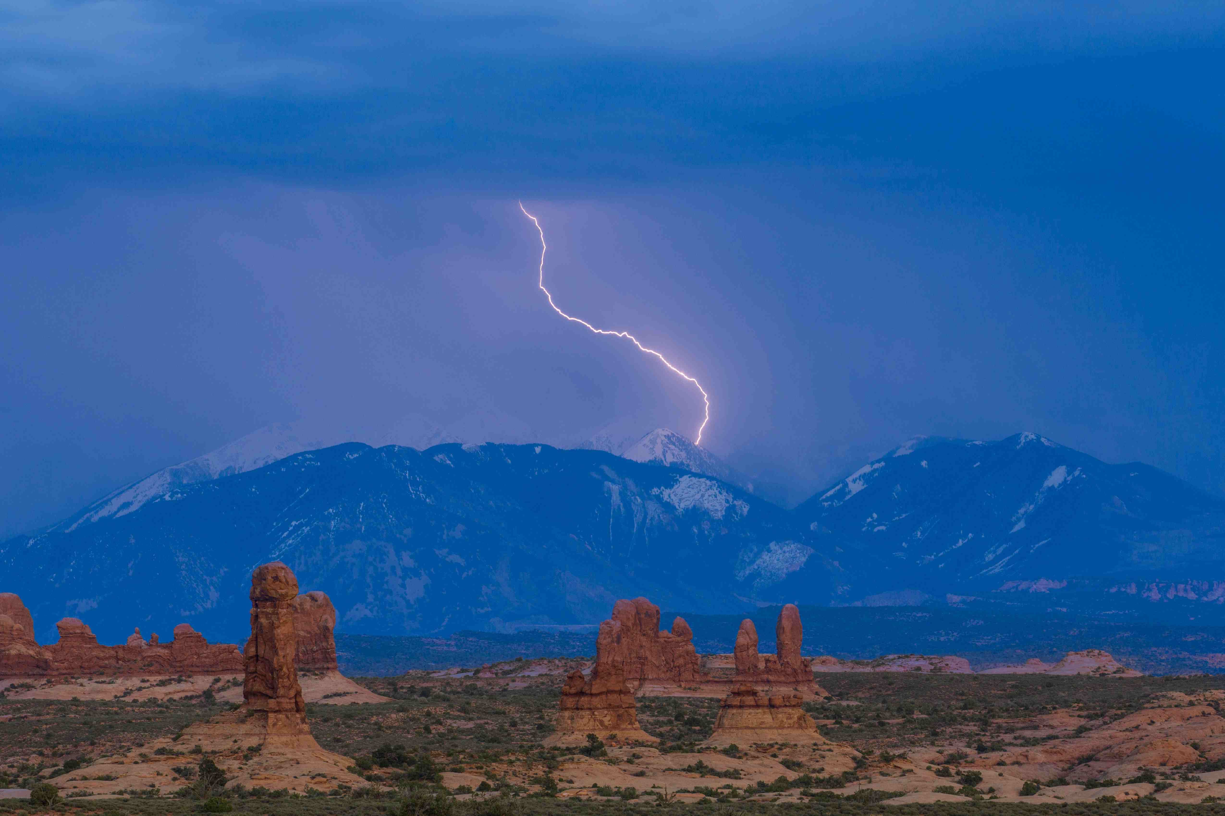
Afternoon thunderstorms will hit the Salt Lake Valley daily through Saturday, July 18, as monsoonal moisture pushes into the Wasatch Front, according to ABC4 meteorologist Cedric Haynes. The strongest storms are expected Friday, July 17, and Saturday, July 18.
Heavy rainfall on drought-hardened ground can produce dangerous flooding with little warning, and the National Weather Service advises that residents near canyon mouths, dry washes, or low-lying areas should watch for rapid water rises during afternoon storms.
Daytime highs across the Wasatch Front will remain in the mid-to-upper 90s through the week, with overnight lows in the low-to-mid 70s, according to ABC4's Tuesday, July 14, forecast.
Why it matters locally
No flash flood watch or warning had been issued for the Salt Lake Valley as of Tuesday, July 14. But extreme drought persists statewide, according to the National Weather Service Salt Lake City office, and dry, compacted soil sheds water faster than saturated ground. A few heavy storms on steep terrain near Big and Little Cottonwood canyons could send water rushing into neighborhoods below.
"Too much of it, especially across fresh burn scars such as the Babylon and Cottonwood fire burn scars, leads to the increased risk of flash flooding," Haynes said.
Statewide burn scar concerns
The broader flash flood threat is most acute over wildfire burn scars in central and southern Utah. The Cottonwood fire, which ignited June 22 in Fishlake National Forest about 200 miles south of the Salt Lake Valley, burned more than 150 square miles of terrain in Beaver and Piute counties, according to NASA Earth Observatory imagery published July 8. The fire destroyed up to 150 structures.
The National Weather Service warns that burned soil can be as water-repellant as pavement, and as little as half an inch of rain in under an hour can trigger flash flooding in a burn area. Debris flows can carry mud, rocks, and ash into roadways and culverts miles downstream. The susceptibility is greatest during the first two years after a fire.
University of Utah wildfire researcher Phil Dennison told the Salt Lake Tribune on Monday, July 13, that communities near burn scars were filling sandbags. "The outlook is not very positive," Dennison said.
How to stay safe
The NWS advises that flash flooding from burn scars can begin before an official warning is issued. It takes only a few inches of water to sweep a person off their feet. If you encounter a flooded roadway, turn around.
Residents can monitor flash flood watches and warnings at weather.gov/slc.