Cottonwood Heights and Holladay residents are caught between two converging water crises: the Colorado River's main reservoirs have dropped to their lowest combined level since 1957, and Utah's snowpack — the source that directly feeds Big Cottonwood Canyon's drinking water supply — hit record lows this year.
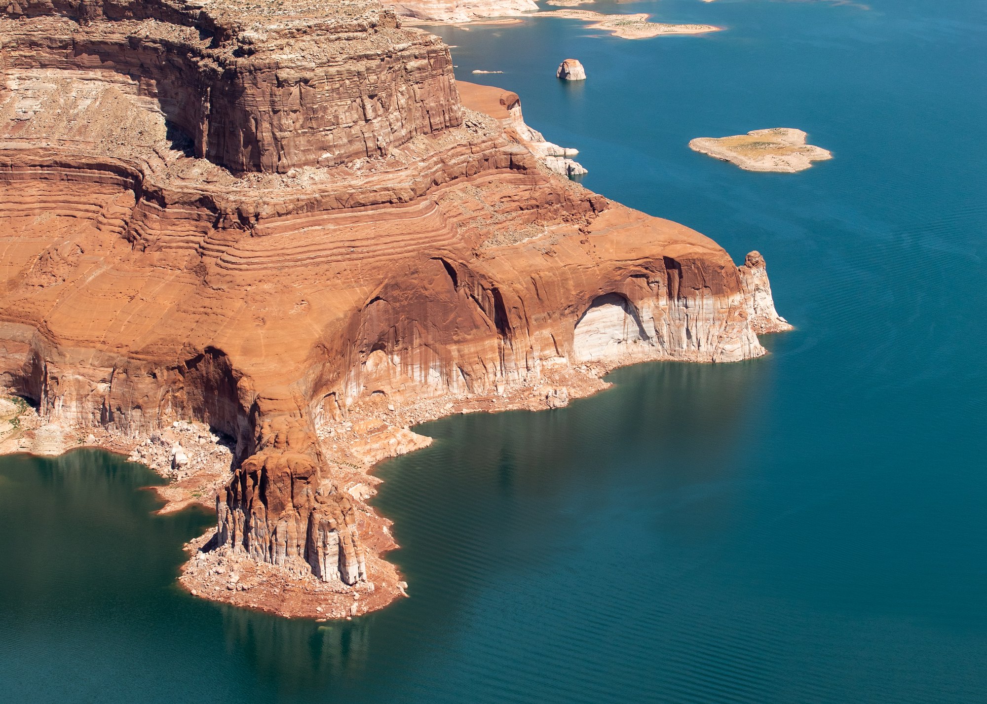
Lake Powell and Lake Mead held about 12.67 million acre-feet of water as of Sunday, July 12, breaking the previous record low set in 2023, according to a report from the Center for Colorado River Studies at Utah State University. Lake Powell stood at just 23 percent full; Lake Mead at 27 percent, according to U.S. Bureau of Reclamation data.
Why it matters here
Big Cottonwood Canyon provides roughly 60 percent of the Salt Lake Valley's drinking water, according to Joanna Wheelton, executive director of the Cottonwood Canyons Foundation. Utah's Watershed Restoration Initiative identifies the Cottonwood Canyons as a critical drinking water source for Cottonwood Heights, Holladay, Millcreek and Salt Lake City.
"Every drop of precipitation that falls up here can make its way down to faucets in the valley in about 24 hours," Wheelton said.
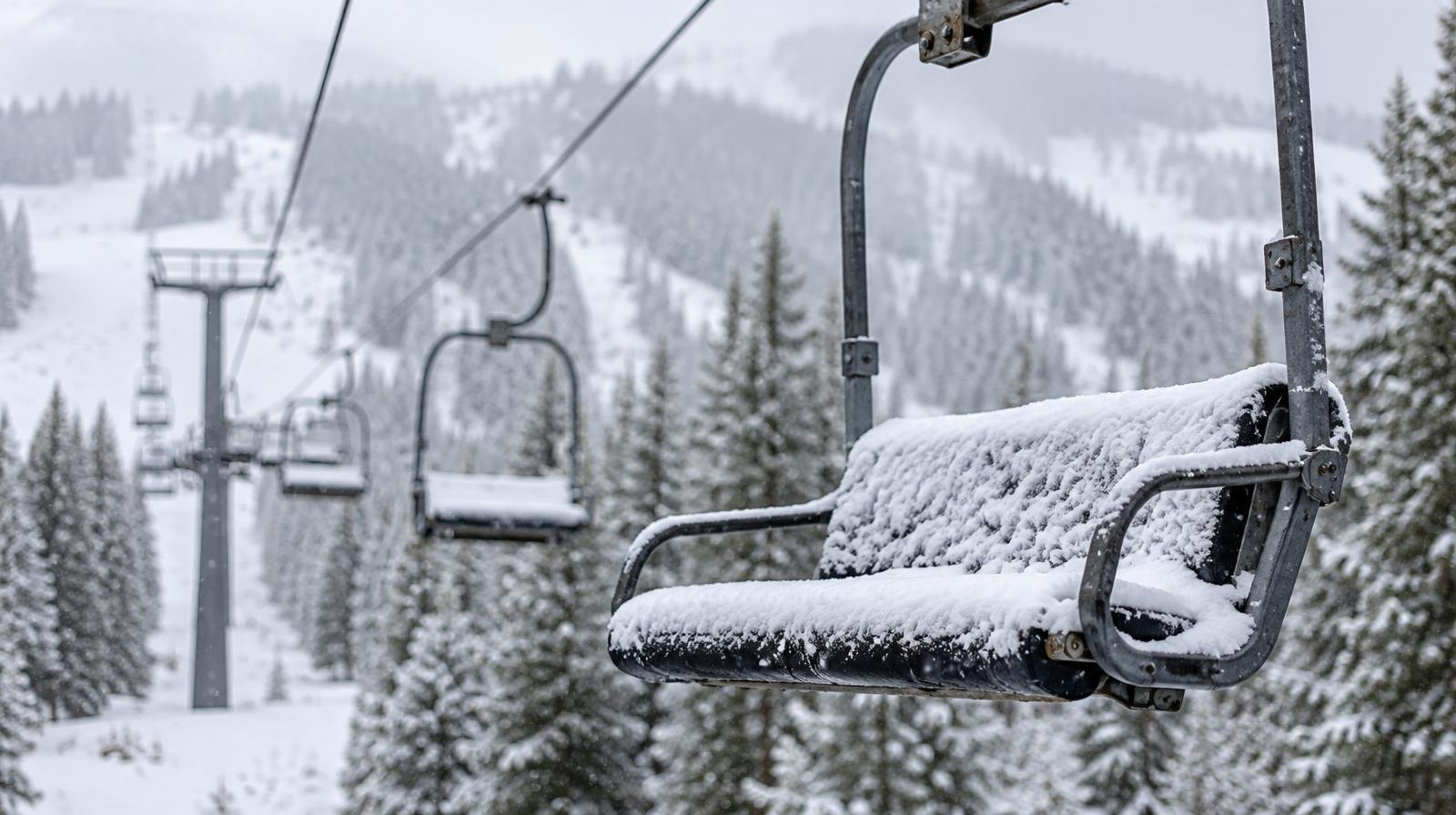
That local supply depends on snowpack. Utah recorded its lowest snowpack on record in 2026, and the Colorado River Basin experienced the same drought pattern. Jon Meyer, Utah's assistant state climatologist, said in January that the lack of mountain snow "highlights the risk of how climate change is impacting snowpack in Utah and across the globe," with implications for the 2034 Winter Olympics planned for Salt Lake City.
Runoff into Lake Powell from the Upper Colorado River Basin reached just 23 percent of normal this year, according to Bureau of Reclamation data. The reservoirs have been losing about 16,000 acre-feet per day since March, and the USU report projects a new record low will be set every day going forward until spring 2027 runoff.
Emergency measures underway
The Bureau of Reclamation announced on Friday, April 17, that it would release between 600,000 and one million acre-feet from Flaming Gorge Reservoir over the next year to protect Lake Powell. The agency also cut annual releases through Glen Canyon Dam from 7.5 million acre-feet to 6 million through September 2026.
Salt Lake City Mayor Erin Mendenhall ordered city facilities to cut water use by at least 10 percent in March and asked residents and businesses to voluntarily conserve 10 million gallons.
Brad Udall, a senior climate scientist at Colorado State University's Colorado Water Center, told USA Today that 2026 may be the worst year for Colorado River flows in recorded history.
How bad it could get
Lake Powell's surface elevation sat at 3,524 feet on July 12. That's only 34 feet above the minimum power pool level. If it drops below 3,490 feet, water can no longer flow past Glen Canyon Dam by gravity, trapping roughly 240 feet of water at the canyon bottom and cutting supply to millions downstream in Arizona, California and Nevada, according to Peter Soeth, public affairs lead at the Bureau of Reclamation.
Negotiations among the seven Colorado River Basin states over a new water allocation plan remain unresolved, according to the USU report. If the states cannot agree, the Bureau of Reclamation will make the final decision.
The Bureau of Reclamation is expected to release a short-term operating plan for the two reservoirs this summer. No date has been announced.